
Engineering & Survey Services
Hydrological & Flood Risk Studies
Water finds the lowest point — the question is whether your site planning found it first. Terren maps how water actually moves across a site before it becomes a drainage problem after construction.
Overview
Understanding where water moves before construction begins.
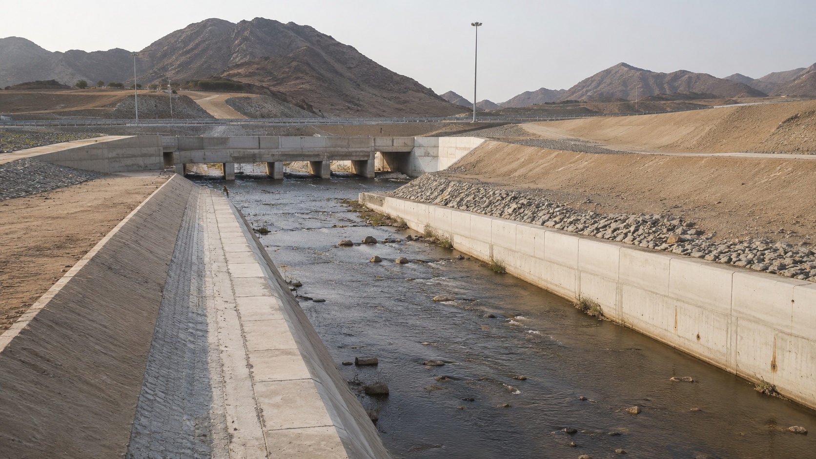
Wadi paths, runoff concentration, low-lying ground — in much of Saudi Arabia's terrain, ignoring these isn't an option. Flood risk is a defined planning concern in cities like Jeddah, where drainage capacity and wadi behaviour directly affect site safety — the same considerations Terren applies to projects across Riyadh, Dammam and other flood-sensitive regions. We review catchments and flow patterns to flag where flooding or drainage risk could affect a site, then turn that into practical input for road planning, industrial layouts and infrastructure corridors, before it becomes an expensive surprise mid-construction.
Technology
Applications
Technical Method
From catchment understanding to flood risk support.
Catchment & Flow Review
Upstream catchments, wadi paths, low points and drainage directions are reviewed to understand how water may move through or around a project site.
Rainfall & Runoff Understanding
Rainfall intensity, surface runoff behaviour and likely flow concentration points are interpreted to support drainage and flood risk awareness.
Flood Exposure Assessment
Project-sensitive areas are reviewed for potential flood exposure, ponding, crossing risk and drainage limitations.
Planning Support Outputs
Findings are organized into project-facing notes, maps and summaries that help consultants, contractors and developers make informed decisions.
What We Cover
Technical scope under hydrology and flood risk review.
Catchment delineation support
Wadi flow path identification
Rainfall intensity review inputs
Peak flow and runoff understanding
Flood exposure review for site planning
Flood depth and extent mapping support
Drainage path assessment
Culvert and crossing review inputs
Flood protection recommendation support
Deliverables
Clear reporting for drainage and flood-sensitive decisions.
Catchment and drainage path support summaries
Wadi flow and surface runoff interpretation notes
Flood exposure review for planning and design teams
Drainage-sensitive area identification
Culvert, crossing and stormwater review inputs
GIS-ready flood or drainage layers when required
Flood protection and mitigation recommendation support
Clear reporting to support technical decisions